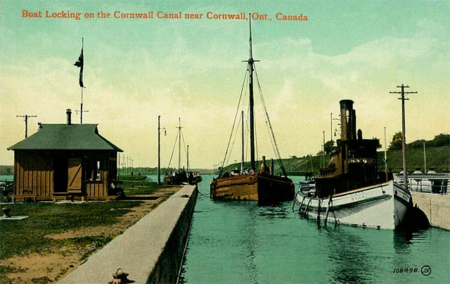
The tug Myra at work at Lock 21
This is Lock 21 with its telltale high, north, canal bank just east of Dickinson’s Landing. …
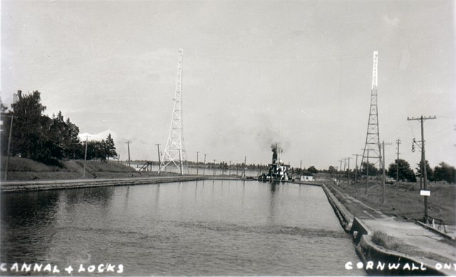
A ship rising in the lock.
The glare on the power tower at the right is from the setting sun. …
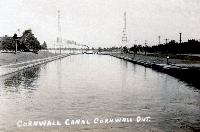
A ship rising in the lock.
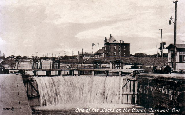
The photographer was standing on top and in the centre of one of the locks to capture this great …
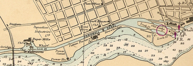
Map of the Cornwall Canada and River.
This map of the canal area and the St. Lawrence River shows where the dry docks were located …
Boardy Bottom
Notice the dry dock photo (above this one.) It is taken from the East side looking west and shows …
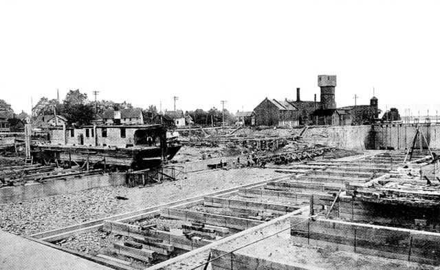
Black & white version of the previous card.
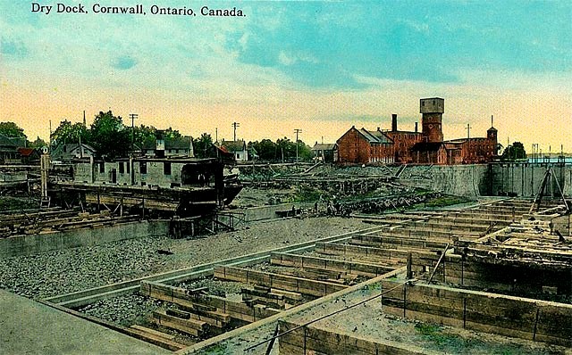
The building in the distance at the center top left, with the tall chimney is the Canada Cottons …
Very busy dry docks
The building in the distance at the center top left, with the tall chimney is the Canada Cottons …
Colourized version of the previous card.
Colourized version of the previous card. Cornwall, Ontario …
The Dry Docks formerly Lock 16
The tall shaft (with the “box” on top) is the elevator shaft in the West Cottons complex. To the right …
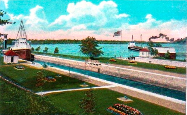
Up the canal and down the river.
Sometimes the drudgery of being a technician in the darkroom of a postcard company …

